Chinese satellites join relief efforts after Xinjiang quake


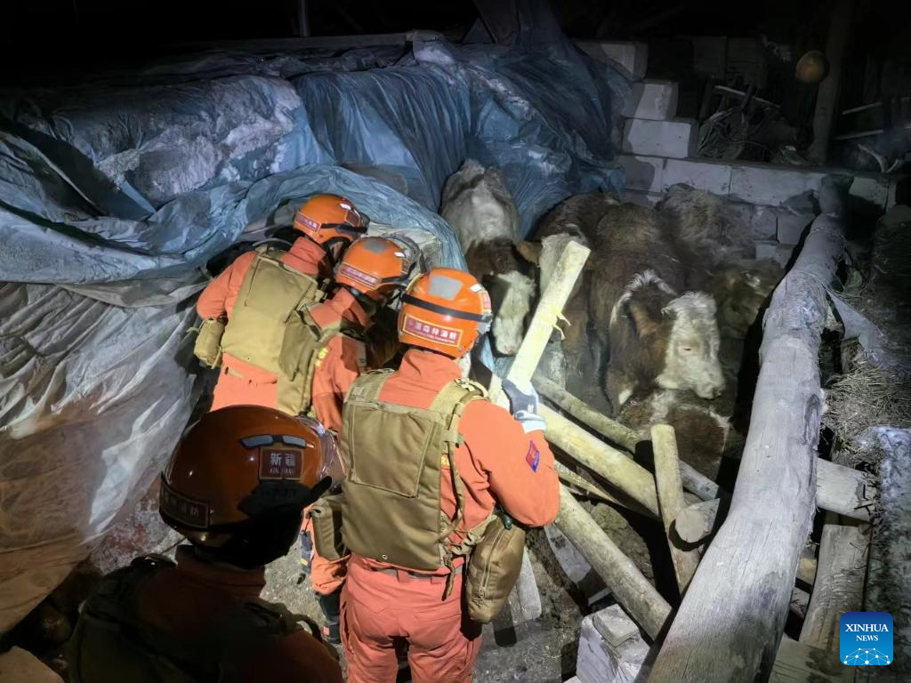
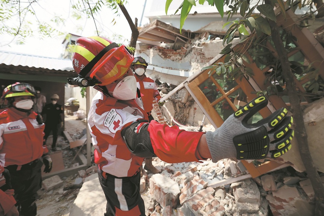
BEIJING -- China has applied its Gaofen series satellites to help with the relief work following a 7.1-magnitude earthquake in Northwest China's Xinjiang Uygur autonomous region, said the China National Space Administration (CNSA) on Tuesday.
Satellites including Gaofen 4 and Gaofen 1 families were deployed to capture images of the quake-hit areas. The remote sensing images of the earthquake hit areas will be instantly shared to the emergency departments for damage analysis, said the agency.
The CNSA will continue to mobilize civil satellites to support disaster prevention and relief efforts, and provide spatial information support for disaster monitoring and decision-making, it added.
Three people have been killed and five others injured in the earthquake that jolted Wushi county in Aksu Pprefecture of Xinjiang at 2:09 am Tuesday (Beijing Time).


- New star orators born as over 1,500 HK students vie for honors
- Seminar urges growth of people's well-being on both sides of Taiwan Strait
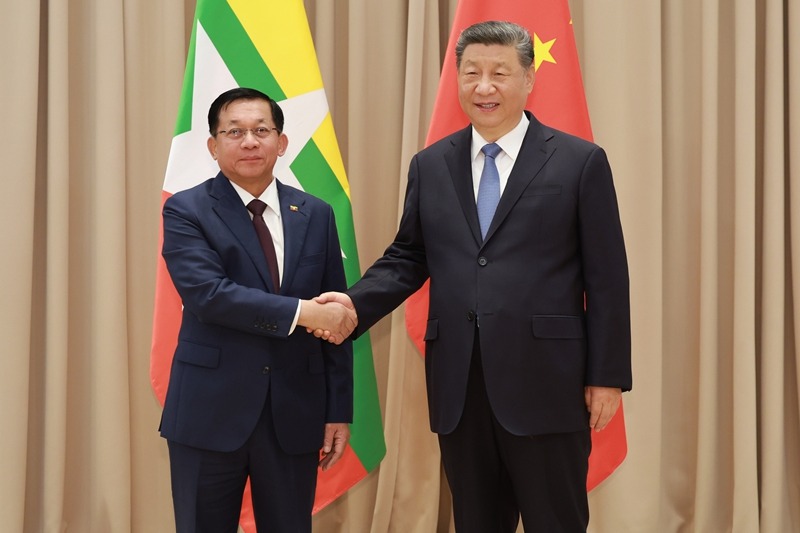
- Xi reaffirms China's commitment to friendly cooperation, international equity
- Xi returns to Beijing after state visit to Russia, attending Great Patriotic War victory celebrations
- National science and technology backyard conference held in Hebei
- China's AG600 large amphibious aircraft completes crosswind flight tests